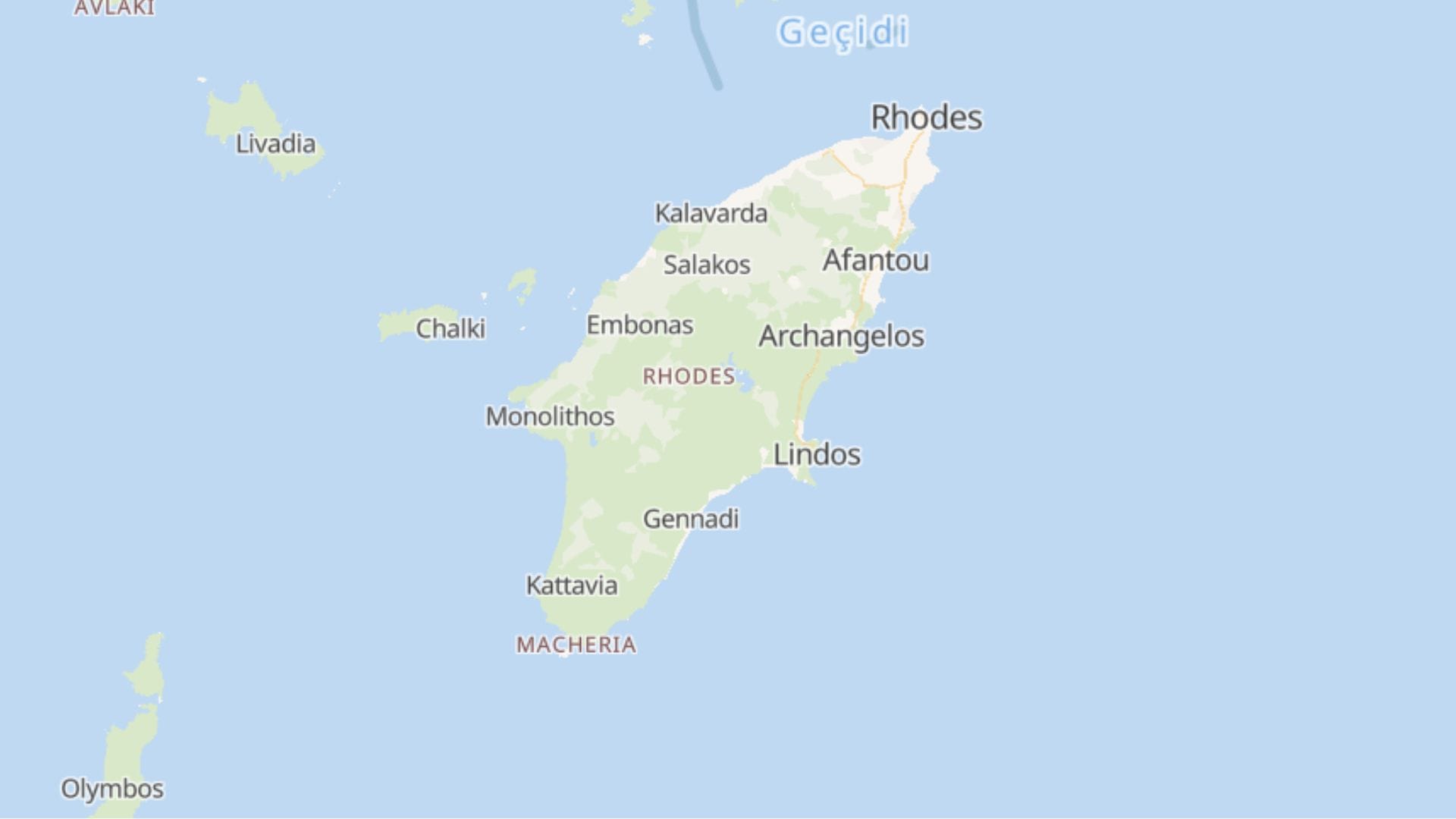
Rhodes is the largest Dodecanese island and a place where many civilizations have found refuge over the centuries. The green island with idyllic endless beaches, cosmopolitan resorts, ancient sites and peaceful places attracts thousands of tourists from all over the world.
Where is it? findings Rhodes? It is located 239 nautical miles from Athens. The closest island is Halki (4 nautical miles from Skala Kamiru). It is also located about 10 nautical miles from the Turkish coast.
Rhodes has two ferry ports and an international airport. The main port is connected to port of Piraeus in Athens and other ports in the Dodecanese, while the port of Skala Kamirou connects the island with Halki i Tylosoma .
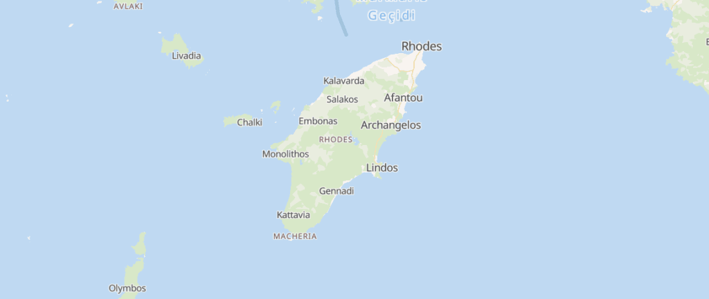
Discover the interactive tourist map. Check out the different options and find out where the best accommodation prices are.
Interactive map of Rhodes
Places, sights, beaches and the airport of Rhodes are marked on the map. Click on the dot for a short description and a link to our text.
Places, sights and beaches of Rhodes
Towns and villages
- Rhodes Town (Old Town) – The medieval old town under the protection of UNESCO and the Palace of the Great Masters.
- Mandrake - Harbor with deer at the entrance, where, according to legend, the Colossus stood.
- Ialysos – A resort on the west coast, popular among surfers.
- Creamy – A village near the airport, known for the great August assembly.
- Faliraki – Resort with a long beach and nightlife.
- Afandou – A village with a long beach and a golf course.
- Arhangelos – A large village with a castle of knights.
- Lind – White houses under the acropolis on the rock.
- Theologian – A village near Butterfly Valley.
Landmarks
- Kallithea Springs – Renovated spa in art deco style, with a cove for swimming.
- Filerimos – A hill with a monastery and a view of the west coast.
- Butterfly Valley – A wooded valley, full of butterflies in summer.
- Ancient Kamiros – Remains of an ancient city on the west coast.
Beaches
- Anthony Quinn – Bay named after the actor from the movie "The Cannons of Navarone".
- Tsambika – Sandy beach below the monastery on the hill.
- Prasonisi - The far south, where two seas meet, a paradise for kitesurfing and surfing.
Transportation
- Rhodes Airport (RHO) – Diagoras International Airport, near Paradisi.
More about the villages is in the text. Villages in Rhodes, about the sights in Rhodes sights, about ferries and ports in Rhodes Port.
Distances from Rhodes Airport
The distances are calculated by road, and the driving time is approximate and without crowds. In summer, on narrow island roads, count even longer.
| Destination | Distance | Driving (approximate) |
|---|---|---|
| Creamy | 4 km | 5 minutes |
| Ialysos | 7 km | 10 minutes |
| Theologian | 7 km | 10 minutes |
| Filerimos | 11 km | 20 minutes |
| Butterfly Valley | 11 km | 10 minutes |
| Rhodes Town (Old Town) | 14 km | 20 minutes |
| Faliraki | 17 km | 20 minutes |
| Ancient Kamiros | 19 km | 25 minutes |
| Anthony Quinn | 20 km | 25 minutes |
| Kallithea Springs | 21 km | 25 minutes |
| Afandou | 23 km | 25 minutes |
| Tsambika | 31 km | 40 minutes |
| Arhangelos | 34 km | 40 minutes |
| Lind | 50 km | 1 hour 5 minutes |
| Prasonisi | 93 km | 1 hour 40 minutes |
Where to stay in Rhodes
- Rhodes Town - the old town, restaurants and the most content.
- East coast (Faliraki, Afandu) – long beaches and resorts.
- Lind – the most beautiful village on the island, with beaches below the acropolis.
- West Coast (Ialysos) – windier, for surfers and those who love sunsets.
- You can compare offers at Booking.
Frequently asked questions
Is a car necessary in Rhodes?
For the south and west of the island, it almost is. There are regular buses between Rhodes Town, Faliraki and Lindos.
Where to surf in Rhodes?
On the west coast near Ialyssos and in the extreme south, on Prasonissi.
How far is Lind from the airport?
The distance is in the table above. Lind is on the east coast, about an hour's drive.
Rhodes - Accommodation, beaches and sights
See also villages on Rhodes, geography i weather on the island.